
The Hong Kong Observatory will consider issuing the Standby Signal No 1 on Friday night or Saturday morning, as an area of low pressure near Luzon was expected to develop into a tropical cyclone and move in the general direction of the coast of Guangdong.
The area of low pressure is currently about 800 kilometers away from Hong Kong, said the observatory in special weather tips released at 12:15 pm on Friday.
“According to the present forecast, the tropical cyclone will intensify progressively and move in the general direction of the coast of Guangdong in the next couple of days, but there are uncertainties in its intensity and speed of movement,” the city’s weather forecaster pointed out.
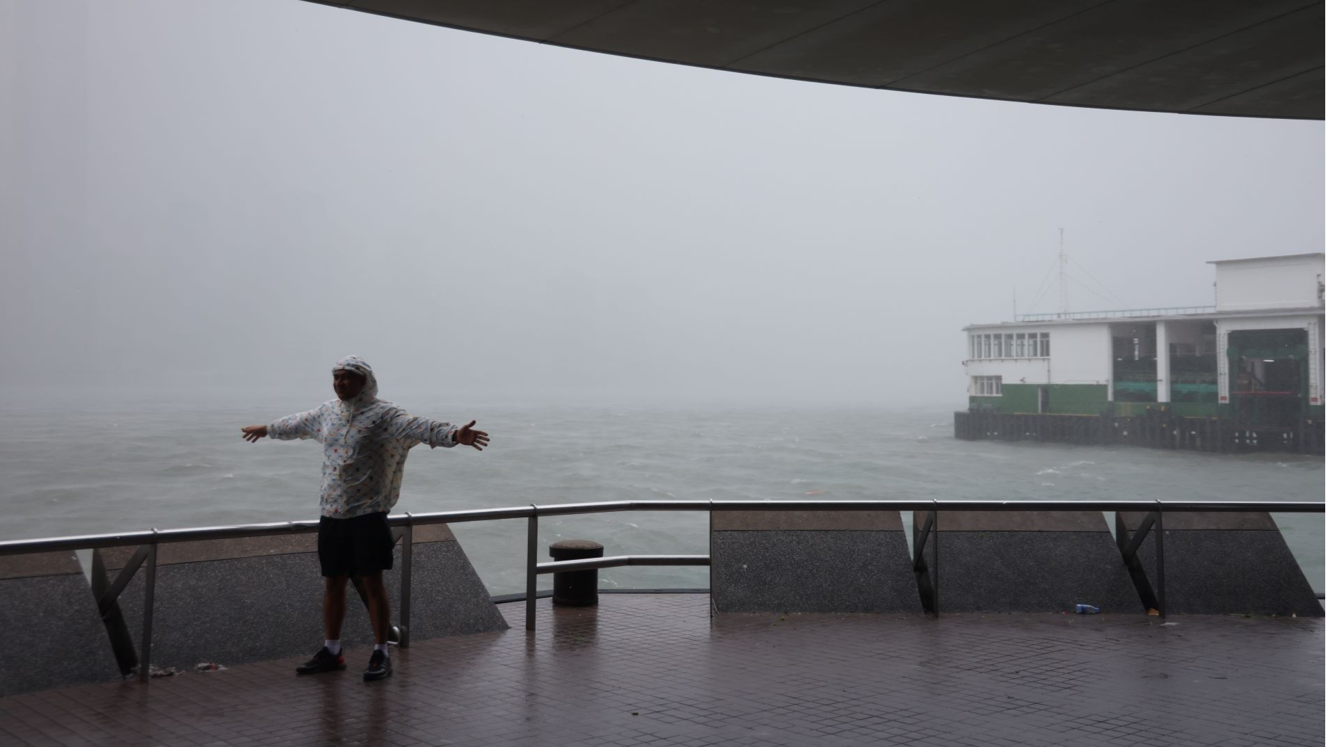
Under its influence, winds are expected to strengthen gradually in Hong Kong on Sunday, and the weather will become unsettled, according to the observatory.
“The weather will be windy with heavy squally showers and thunderstorms on Monday, and seas will be rough with swells,” the HKO said, adding that there may be flooding in low-lying coastal areas on Monday morning due to storm surge.
Under the influence of an anticyclone aloft, it will still be mainly fine and extremely hot in Hong Kong on Saturday, with temperatures reaching about 35 degrees Celsius in the urban areas, and a couple of degrees higher in the New Territories.
READ MORE: Observatory: HK’s August much wetter than usual
The Observatory will assess the need of issuing higher warning signals on Sunday, depending on the intensity of the tropical cyclone, the distance of its strong winds from the territory and the changes in local winds, the observatory added.
The very hot weather warning has been in force since Sept 1. The HKO pointed out that it was extremely hot on Friday afternoon and isolated showers triggered by high temperatures will also affect the inland areas.