

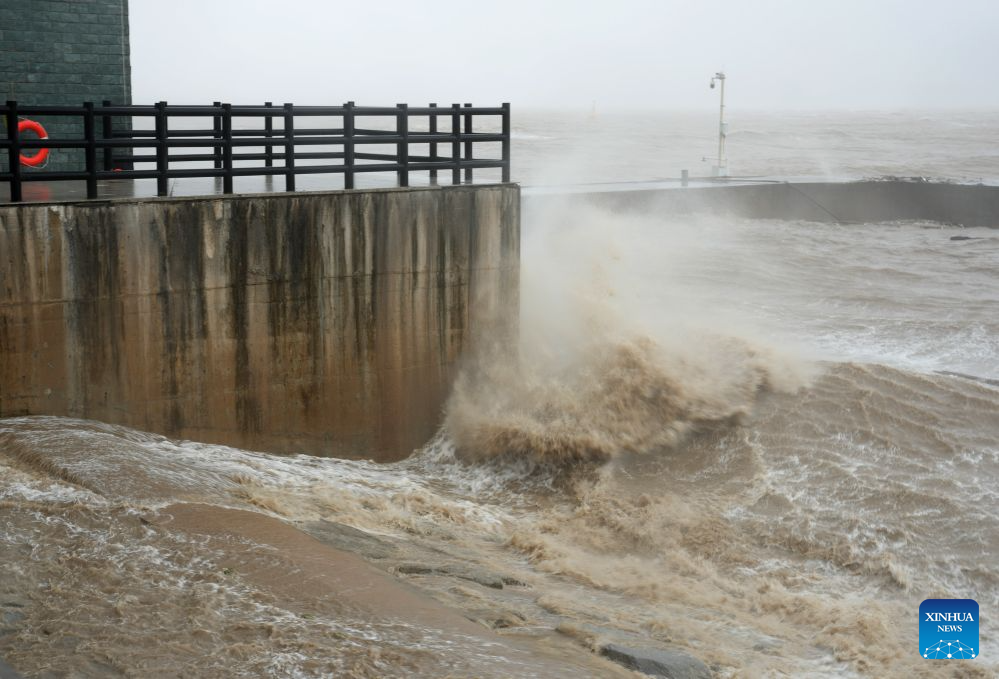
Typhoon Saudel, the 18th typhoon of the year, has reintensified, bringing storms and gale-force winds to the country's southern and eastern coastal areas on Tuesday, according to the National Meteorological Center of the China Meteorological Administration.
At 5:00 am on Tuesday, Saudel's center was located over the north-western South China Sea, approximately 480 kilometers southwest of Shanwei, Guangdong province, according to a statement released by the center. Maximum sustained winds near the center reached Force 8 (18 meters per second), and the minimum central air pressure stood at 995 hectopascals.
It is forecast that Saudel will move east-northeastward at about 25 kilometers per hour with little change in intensity. Most parts of the South China Sea are expected to experience winds of Force 6-7, with gusts up to Force 8, on Tuesday and Wednesday, with some areas seeing gusts reaching Force 9-10.
ALSO READ: Typhoon Saudel makes landfall along coast of East China
To limit casualties, Guangdong authorities ordered all fishing vessels working at sea to return to shelters by 10 pm on Monday.
Workers on engineering facilities at sea in Guangdong are also required to evacuate, according to the provincial flood control, drought relief and typhoon response office.
Saudel had weakened as it moved over Guangxi on Sunday morning before strengthening again over the north-western South China Sea in the early hours on Tuesday.
Blue flood alert hoisted
Meanwhile, the Ministry of Water Resources issued a blue flood alert on Tuesday, warning of heavy rainfall across several eastern and southern regions from Tuesday to Saturday due to the combined effects of the remnant circulation of Saudel and a cold front.
China has a four-tier weather warning system, with red representing the most severe warning, followed by orange, yellow and blue.
Particularly severe downpours are expected in the eastern part of Guangdong province, southern and eastern parts of Fujian province, and coastal areas of southern Zhejiang province, the ministry said in a media release.
READ MORE: China raises weather alert as two typhoons approach
Significant water level rises are anticipated in multiple waterways, including the Dongjiang and Hanjiang rivers in Guangdong, the Minjiang and Jiulong rivers in Fujian, the Qiantang, Cao'e, Jiaojiang, and Oujiang rivers in Zhejiang, the upper reaches of the Ganjiang River in Jiangxi province, and the upper Xiangjiang River in Hunan province.
Some medium and small rivers within the rainstorm zone may swell above warning levels, it said.
