
The Hong Kong Special Administrative Region’s weather forecaster said the Standby Signal No. 1, issued on Wednesday night, will remain in force until 9 am Friday.
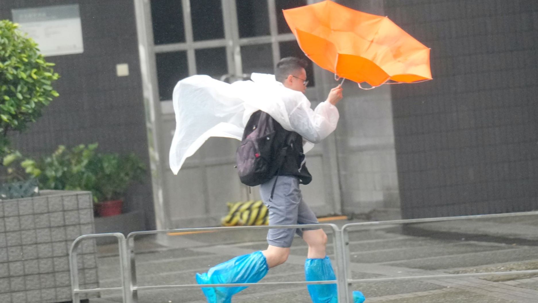
Occasional strong winds will start to affect the offshore waters and high ground of the city on Thursday and Friday under the combined effect of the northeast monsoon over southern China and tropical cyclone Mitag, the Hong Kong Observatory said in a weather bulletin issued at 4:45 pm on Thursday.
However, the chance of sustained strong winds generally over the territory is relatively low, the HKO added.
"Mitag is expected to intensify gradually and edge closer to the coast of eastern Guangdong. Under the influence of the northeast monsoon, Mitag will then turn westwards, edging closer to the vicinity of the Pearl River Estuary. However, there are uncertainties in its landfall location and intensity."
The observatory said it will assess the need to issue higher tropical cyclone warning signals, depending on the intensity of the tropical cyclone, the distance of its strong winds from Hong Kong and the change in local wind conditions.
Members of the public are advised to stay away from the shoreline and not to engage in water sports.