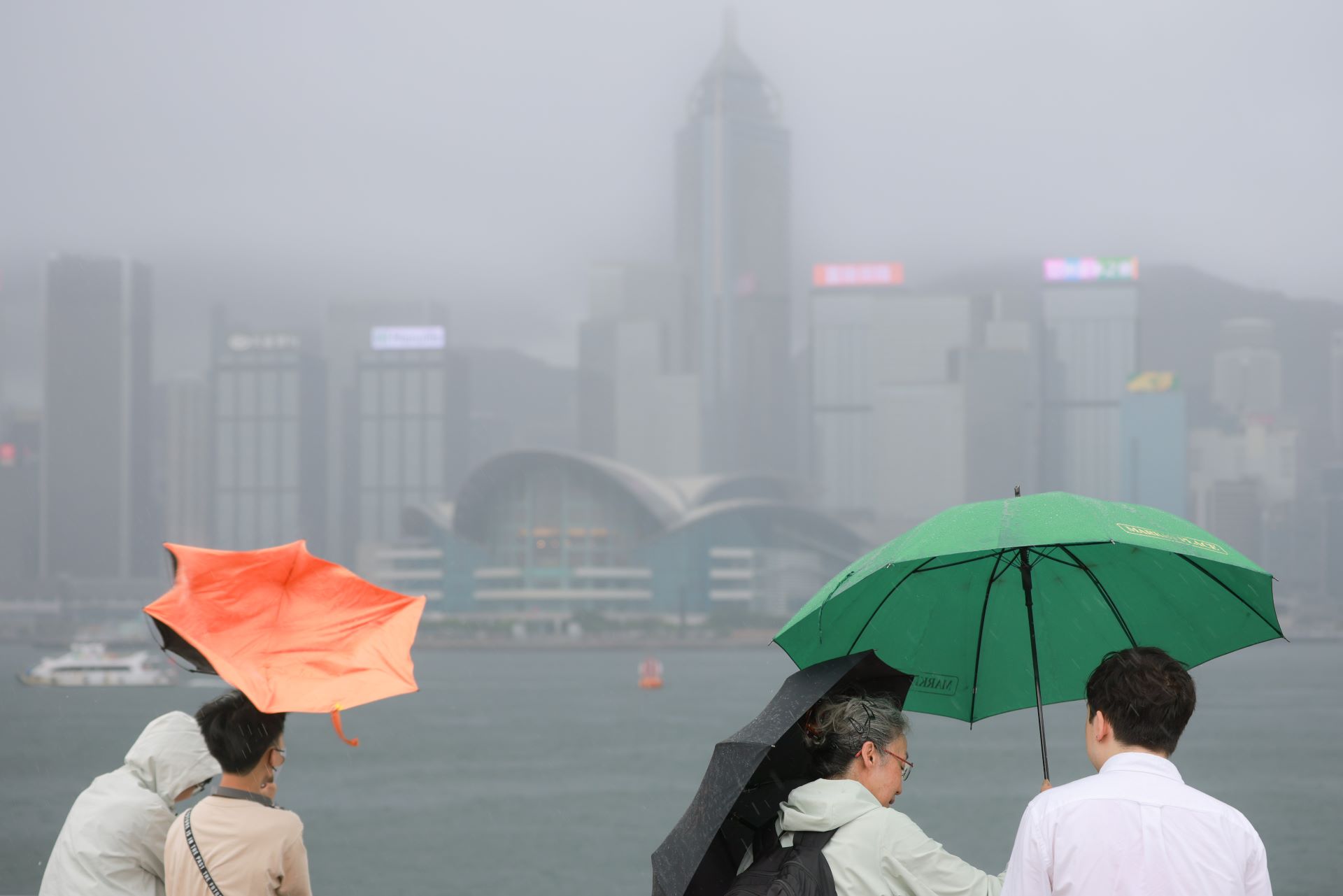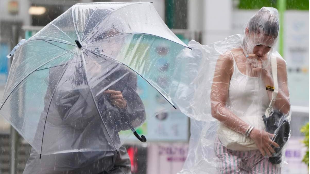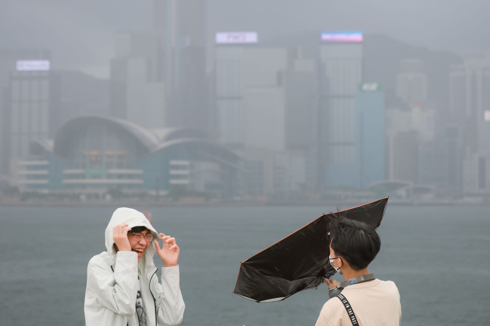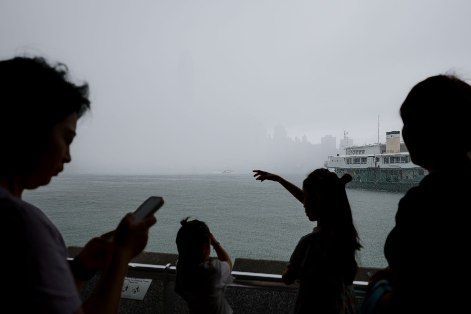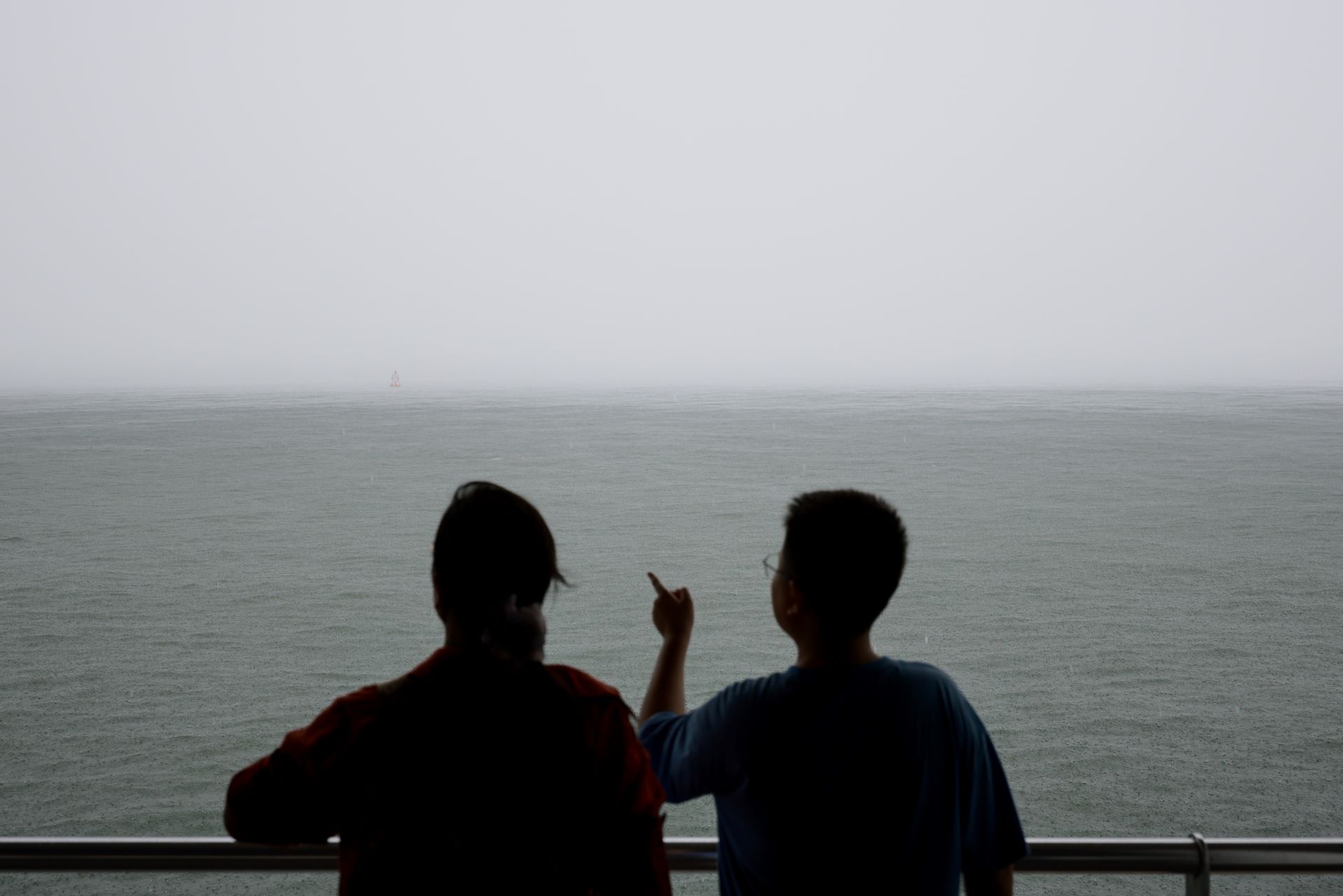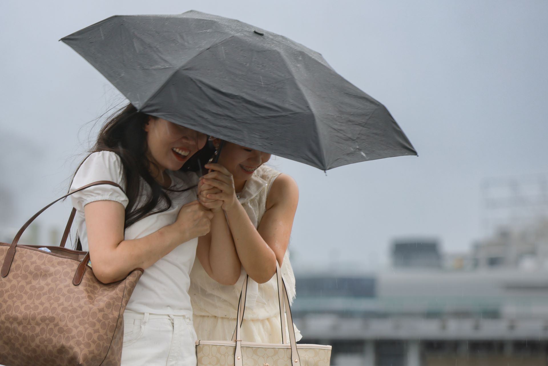
Hong Kong's weather is expected to remain unsettled over the next two days due to an active southerly airstream and upper-air disturbances. Intense thundery showers over the seas south of the Pearl River Estuary are gradually approaching the region and are anticipated to bring heavy showers and strong gusts to the territory this evening.
The Hong Kong Observatory issued a Yellow Thunderstorm Warning at 4:30 pm, in force until 6:30 pm, and advised residents to closely monitor weather updates before heading home from school or work.
ALSO READ: Windy end to rainy week
Earlier, the observatory noted that Monday would be generally cloudy, with occasional showers and squally thunderstorms, along with some heavy rain early in the morning. The weather is expected to clear partially during the day, with a maximum temperature of around 31 degrees Celsius.
Moderate to fresh southerly winds are expected, occasionally becoming strong offshore and on high ground.
The Observatory forecasts continued showers and squally thunderstorms over the next few days, with heavier rain in some areas. Showers are expected to ease later in the week, with temperatures gradually rising.