

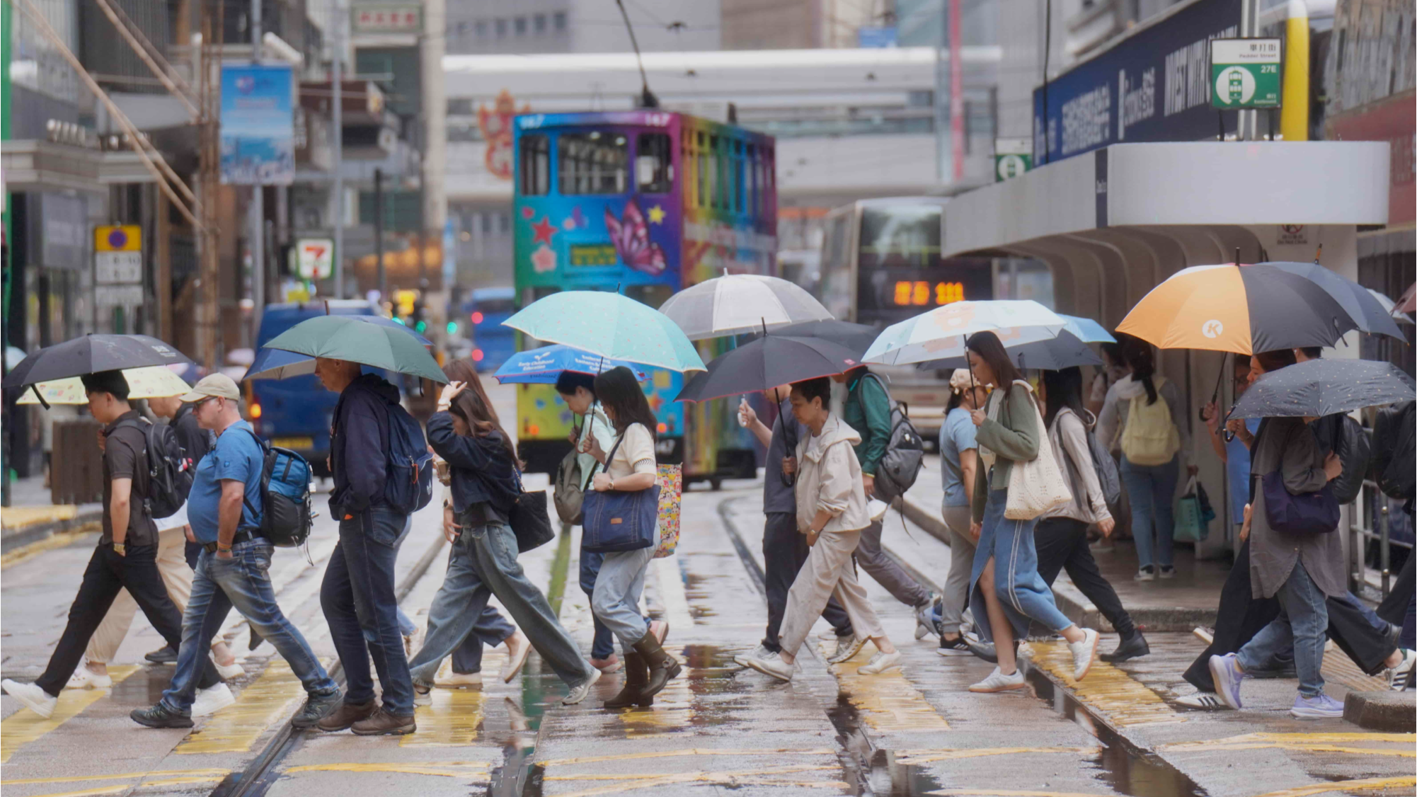
The Hong Kong Observatory said it would consider raising the city’s lowest-tier typhoon warning signal on Monday night or Tuesday morning if a low pressure area in the northern part of the South China Sea develops into a tropical depression as it edges closer to the city.
The observatory said in a weather advisory issued at 12:30 pm on Monday that the low pressure system was expected to bring heavy showers, thunderstorms and squalls to Hong Kong on Tuesday.
ALSO READ: HKO: 4 to 7 typhoons may hit Hong Kong this year
“If the area of low pressure develops into a tropical depression, the observatory will assess the need for issuing the Standby Signal, No 1 this evening to tomorrow morning,” the HKO said.
It said the low pressure system will be closest to Hong Kong on Tuesday morning, skirting within 100 kilometers of the territory, and this could require the hoisting of rainstorm warning signals or localized heavy rain advisories.
“Strong winds will prevail offshore. Flooding may occur in some low-lying areas,” the observatory said, urging members of the public to take note of its latest weather advisories.
The observatory added that Hong Kong was forecast to see mainly cloudy weather on Monday, with very hot and sunny periods in the afternoon and isolated thunderstorms later. The very hot weather warning has been in force since Friday.
