

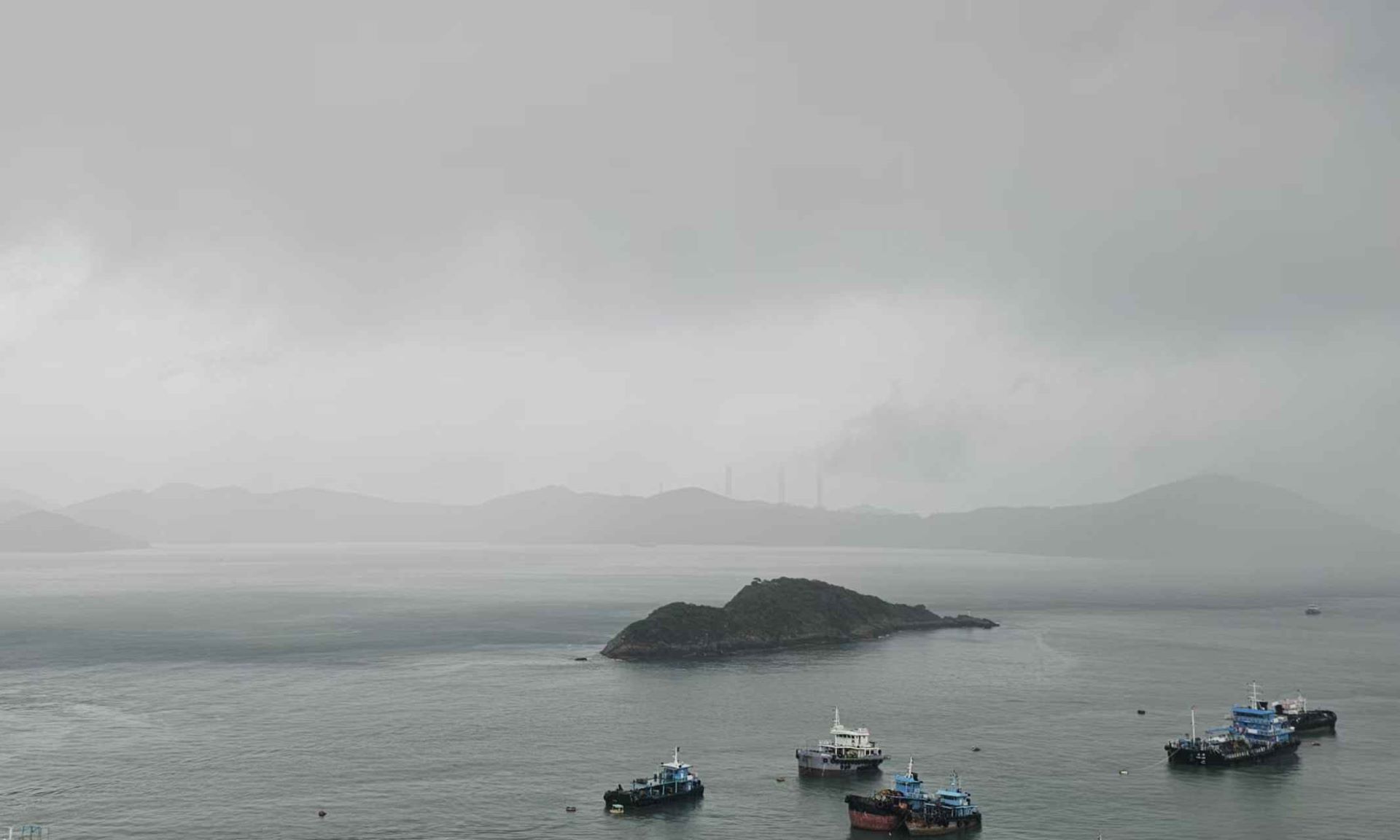
Hong Kong is on high alert as Super Typhoon Ragasa edges closer to the city, while authorities have stepped up preparations, including contingency measures to deal with severe flooding and landslides.
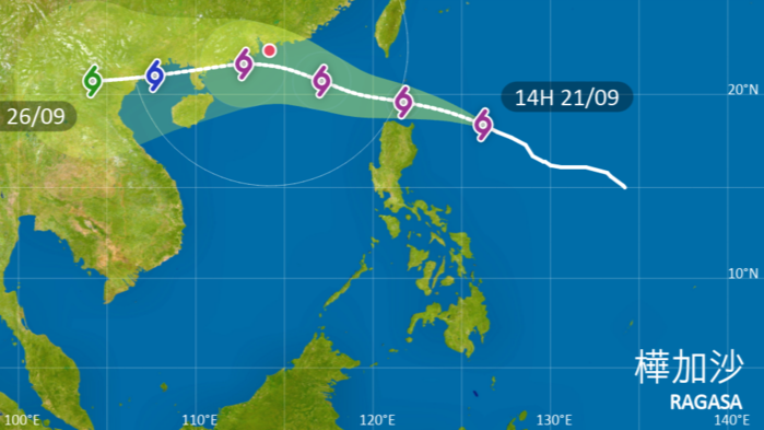
The Hong Kong Observatory said in an advisory on Sunday that it will issue the Standby Signal No 1, which means a tropical cyclone has come within 800 kilometers of Hong Kong, around lunchtime today as Ragasa is expected to intensify further as it enters the northern part of the South China Sea.
There will be swells and the weather will deteriorate rapidly on Tuesday, the HKO said, noting that Ragasa has an extensive circulation.
“Gale to storm force winds will prevail on Wednesday, and winds may reach hurricane force offshore and on high ground,” the observatory added.
To prepare for the super typhoon, Chief Secretary for Administration Eric Chan Kwok-ki chaired a steering committee meeting on handling extreme weather on Sunday to review and coordinate the city’s contingency measures.
The preparations include the Development Bureau stepping up preventive measures to deal with flooding, landslides and fallen trees, and ensure the safety of building structures. Emergency control centers of relevant departments, with specially deployed additional manpower, are also ready to be activated at any time.
The Drainage Services Department has completed inspections and clearance work at about 240 locations across the territory that are prone to flooding due to blockages.
The department has increased the number of emergency response teams by 20, bringing the total to 200, to handle flooding and clear drainage channels in different districts. It has deployed powerful pumping robots on standby at high-risk locations and distributed additional sandbags.
Extra sandbags, more than double the usual amount, have been provided to areas with higher flooding risks, including Tai O, Lei Yue Mun, Sam Mun Tsai, Tai Po Market, Kar Wo Lei, low-lying areas in central Yuen Long, low-lying areas in northwest Yuen Long, To Tau Wan, Nam Wai and Heung Chung.
For high-risk coastal low-lying or windy residential areas, the DSD and the Civil Engineering and Development Department have been working closely with relevant departments to implement appropriate measures, including early warning systems and emergency response arrangements to cope with the potential threat of flooding caused by storm surges.
According to the observatory, Ragasa’s maximum sustained winds near the center reached 220 kilometers per hour as of 2 pm Sunday.
ALSO READ: Ragasa strengthens into super typhoon, threatens northern Philippines
As of 4 pm Sunday, Ragasa was centered about 690 kilometers northeast of Manila and was forecast to move west-northwest at about 18 km/h toward the vicinity of Luzon Strait.
The HKO reiterated its warning of an expected significant storm surge, which may cause sea levels in the territory’s coastal areas on Wednesday to be similar to those during super typhoons Hato in 2017 and Mangkhut in 2018.
“There will be heavy squally showers, thunderstorms and significant storm surge on Wednesday. Seas will be very high with swells,” the observatory said.
READ MORE: 'Super typhoon' fears for HK residents as Ragasa likely to intensify
On Sunday morning, showers associated with the remnants of tropical storm Mitag continued to affect the city, with around 70 millimeters of rainfall recorded over Central and Western District, Lantau Island and the eastern part of the New Territories.
Additionally, a thunderstorm warning, first issued at 11:15 pm on Saturday, was extended until 6:30 pm on Sunday.