

The No 1 typhoon warning signal will stay in force in Hong Kong until Wednesday morning due to Tropical Cyclone Saudel, the city’s weather forecaster has said, adding that the chance of issuing higher alerts is low.
Unless Saudel intensifies significantly and its associated strong winds are closer to the vicinity of the Pearl River Estuary, the chance of strong winds over Hong Kong is not high, the Hong Kong Observatory said in a weather bulletin on Tuesday afternoon.
ALSO READ: HK experts urge swift action as El Nino threatens to bring more heat, typhoons
The Standby Signal, No 1 – the city lowest-tier typhoon signal – means that a tropical cyclone is centered within 800 kilometers of Hong Kong, while HKO issues the T3 signal when a tropical cyclone brings or is expected to bring strong winds with mean speeds ranging from 41 to 62 km per hour.
The observatory said Saudel was expected to linger around the vicinity of the northeastern part of the South China Sea and the coast of eastern Guangdong on Thursday.
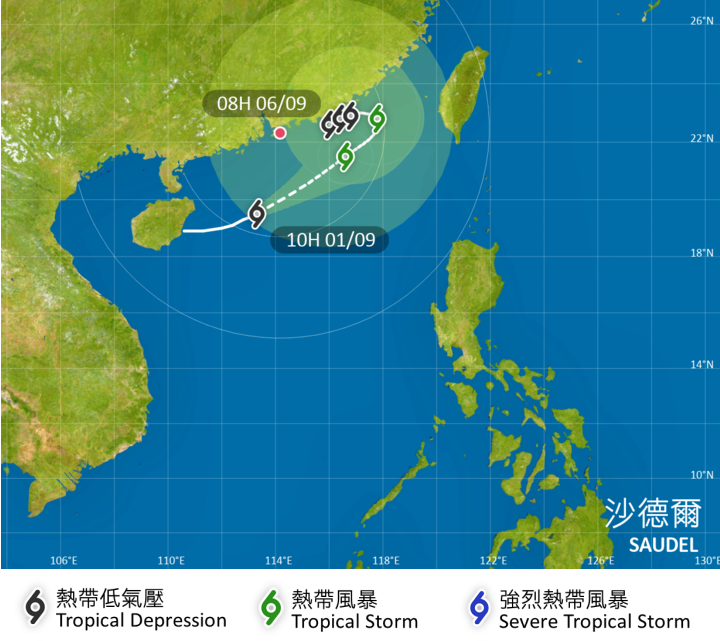
"There are rather large uncertainties in its subsequent movement and intensity. The Tropical Cyclone Warning Signal may remain in force until later this week," the HKO said, adding that members of the public should take note of the latest weather updates.
As of 5 pm, Saudel was estimated to be about 250 km south-southeast of Hong Kong and was forecast to move east-northeast at about 14 km per hour across the northern part of the South China Sea.
READ MORE: HKO: 4 to 7 typhoons may hit Hong Kong this year
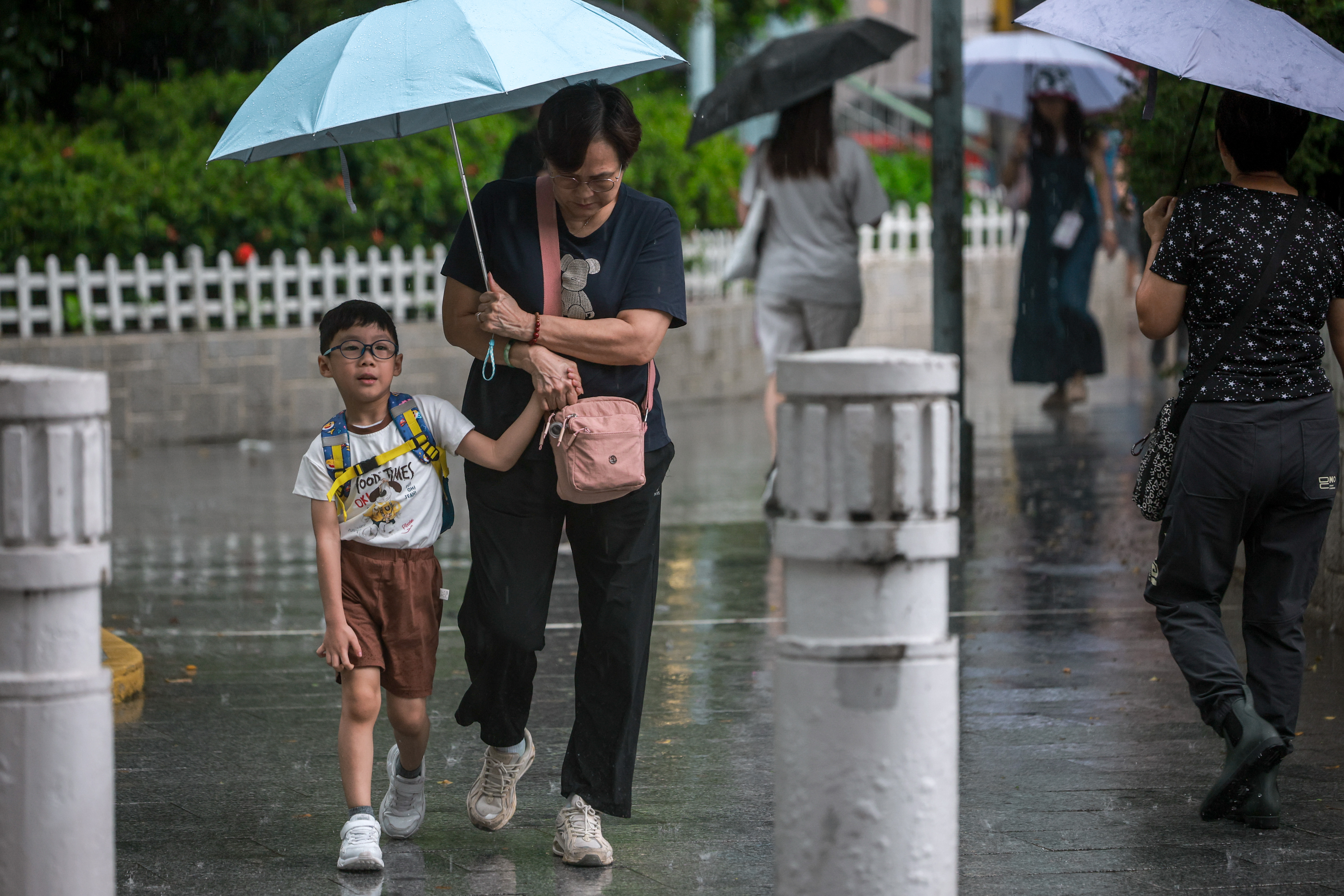
The outer rainbands of Saudel brought squally showers and thunderstorms to Hong Kong on Tuesday morning, with around 10 millimeters of rainfall recorded over many places in the city, the HKO said, adding that rainfall even exceeded 20 mm over the eastern part of the New Territories.
Under the combined effect of Saudel and the northeast monsoon, local winds will be occasionally be strong offshore and on high ground, the HKO said.
It added that the weather in Hong Kong on Wednesday will be mainly cloudy with occasional squally showers and isolated thunderstorms.
