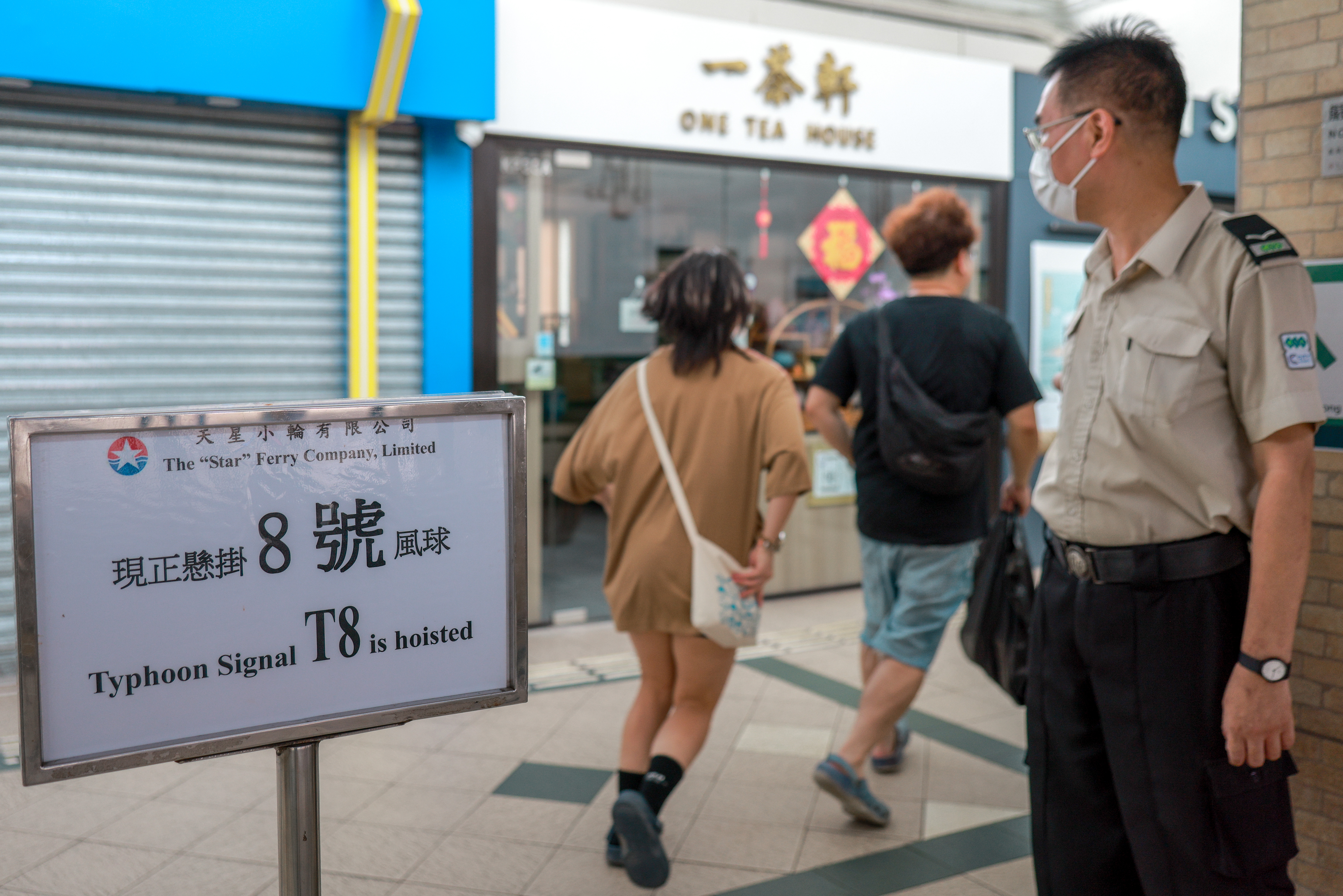
The Hong Kong Observatory upgraded the typhoon warning to the gale or storm signal No 8 to replace the strong wind signal No 3 at 2:20 pm on Tuesday, as Super Typhoon Ragasa continued to move closer.
At 6 pm, the super typhoon was estimated to be about 300 kilometers southeast of Hong Kong and was forecast to move west-northwest at about 22 km per hour, edging closer to the vicinity of the Pearl River Estuary to the coast of western Guangdong, the HKO said in a bulletin.
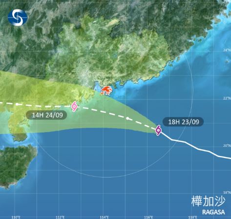
“Ragasa has an extensive circulation with fierce winds. Its outer rainbands have edged closer to the vicinity of the Pearl River Estuary gradually and occasional gales are already starting to affect high grounds locally,” the bulletin reads.
The weather was expected to deteriorate rapidly overnight, with winds strengthening quickly.
ALSO READ: Classes, flights suspended as Super Typhoon Ragasa approaches

The forecaster said Ragasa will be closest to the vicinity of the Pearl River Estuary on Wednesday morning. Depending on the distance between the super typhoon and Hong Kong and the change in local wind conditions, the observatory said it will assess the need of issuing higher warning signals between 11 pm on Tuesday and 3 am on Wednesday.
ALSO READ: HK girds for a super typhoon
Reiterating its warning that the weather will be persistently adverse on Wednesday, the HKO stressed that gale to storm force winds will prevail, and winds will reach hurricane force offshore and on high ground at first, with frequent heavy squally showers and thunderstorms.
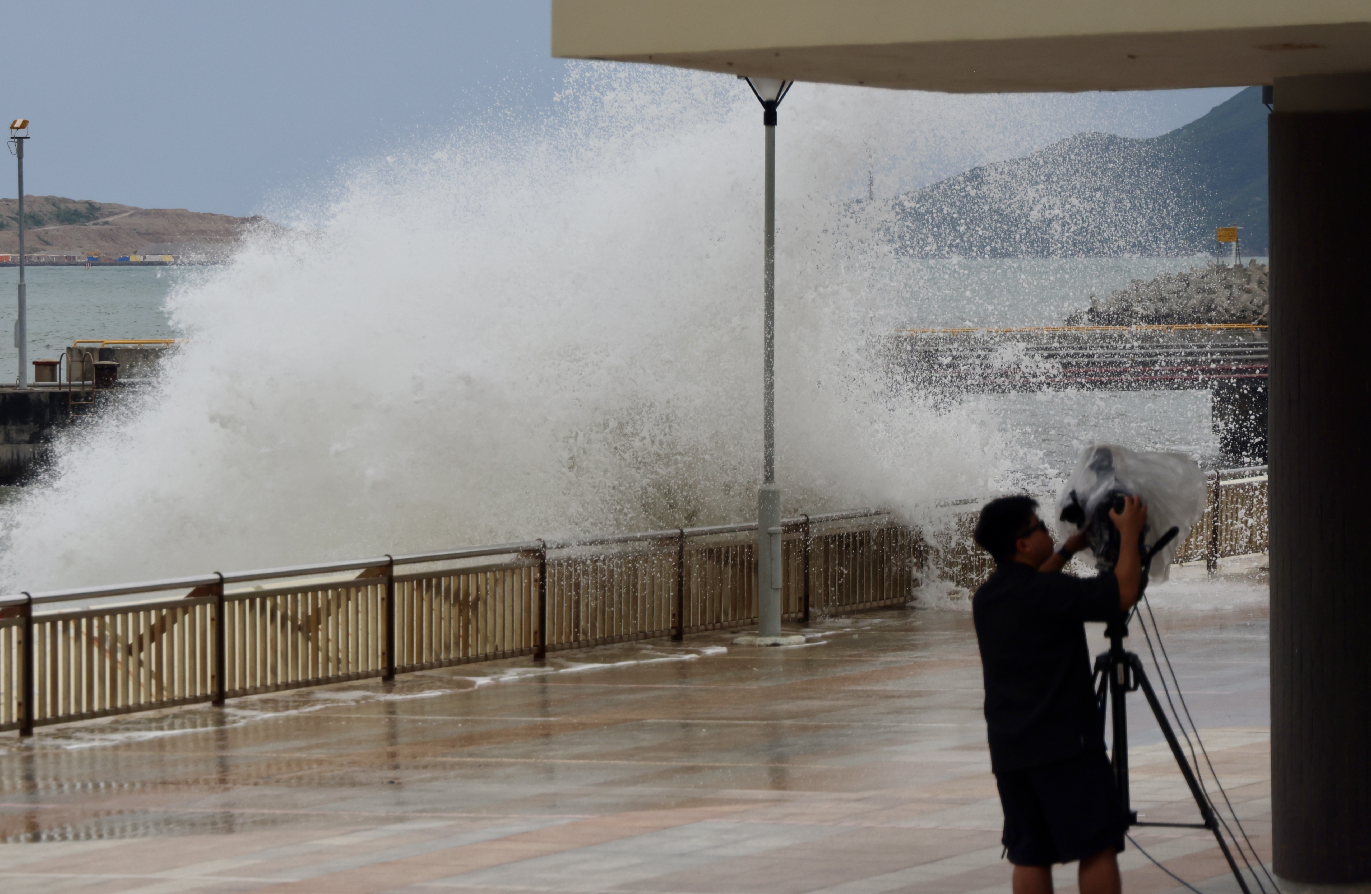
"There will be overtopping waves over the shoreline, which will be particularly significant along the eastern and southern coasts," warned the observatory, advising members of the public to stay away from the shoreline and not to engage in water sports.
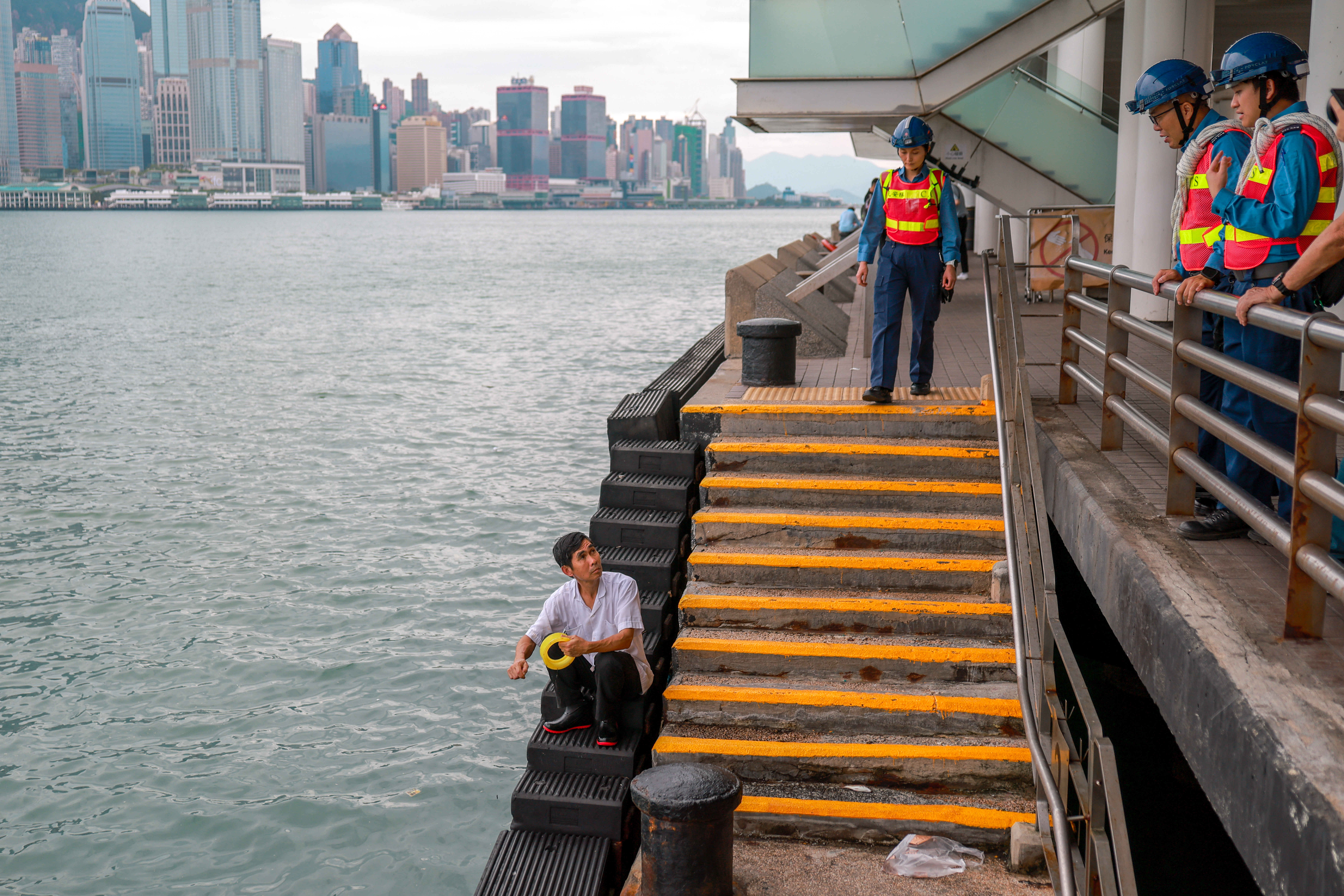
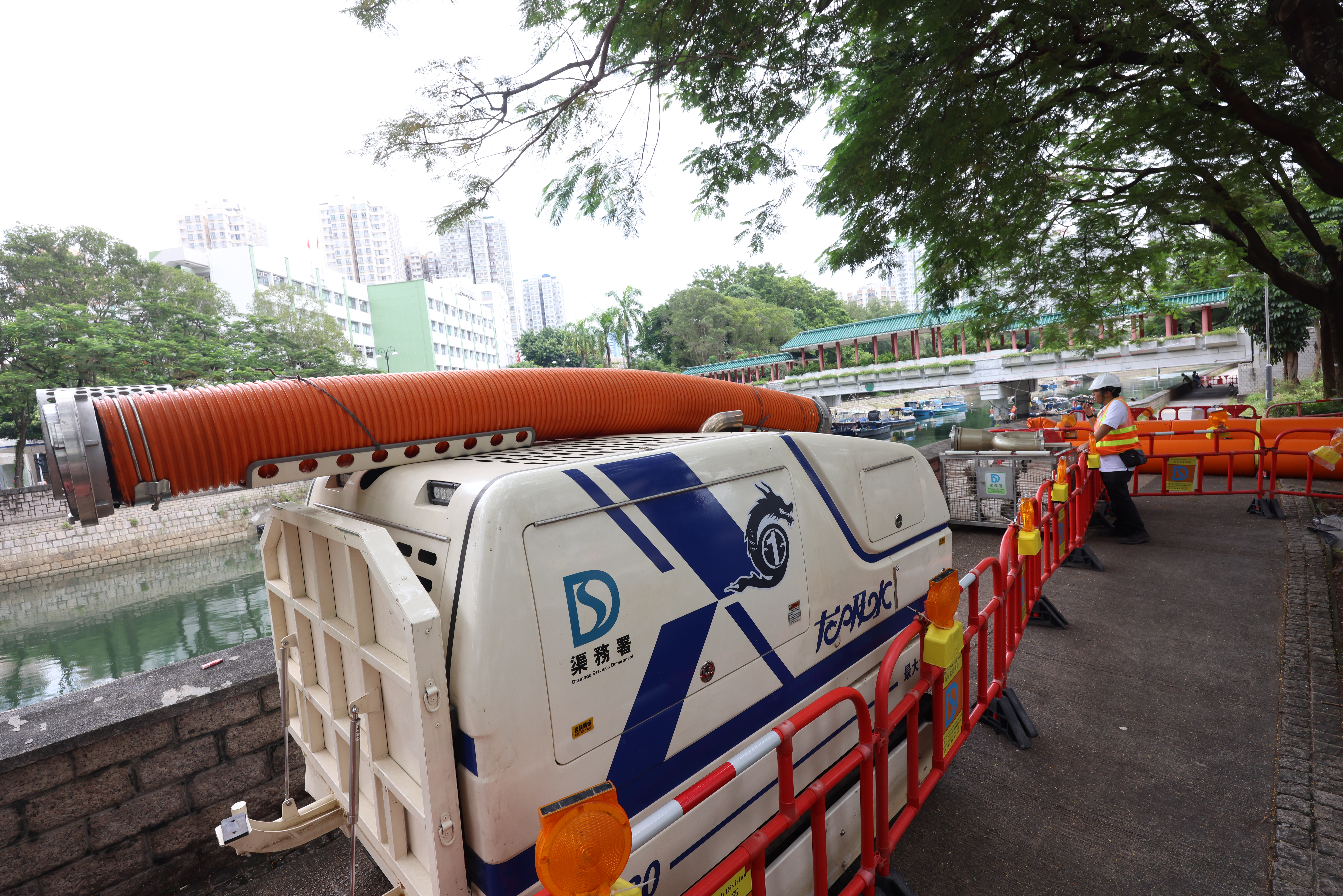
Meanwhile, there will be a rise in water level of about 2 meters over coastal areas of Hong Kong on Wednesday morning under the influence of significant storm surge, according to the weather forecaster, adding that the maximum water level can generally reach around 3.5 to 4 m above chart datum.
With the departure of Ragasa, winds were expected to weaken gradually but showers will still be heavy at first on Thursday. The weather will improve in the latter part of this week.
READ MORE: Hong Kong steps up preparations as Super Typhoon Ragasa nears
In preparation for the super typhoon, the Emergency Monitoring and Support Center under the Security Bureau of the Hong Kong Special Administrative Region government was activated on Monday morning.
Chief Executive John Lee Ka-chiu said on social media that he visited the center in the morning to receive briefings from various response plans. He also held a meeting with Chief Secretary for Administration Eric Chan Kwok-ki and Secretary for Security Chris Tang Ping-keung to discuss in detail the efforts of different departments.
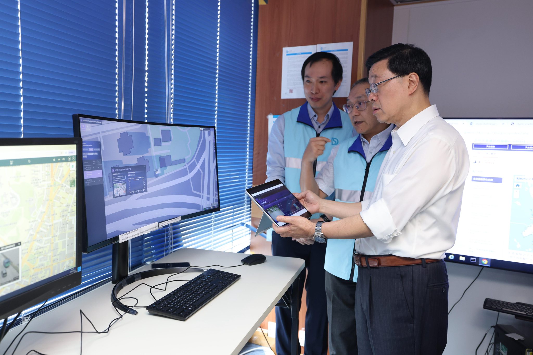
Lee said that the chief secretary for administration will lead relevant bureau heads to inspect different districts this afternoon to ensure that all departments are well-prepared for the super typhoon.
Meanwhile, the Education Bureau announced on Monday that classes in all schools, including secondary schools, primary schools, special schools, kindergartens, kindergarten-cum-child care centers and evening schools, will be suspended on Tuesday and Wednesday.
The Hong Kong International Airport will remain open, and a large number of flights are expected to be affected, according to Hong Kong's Airport Authority.
With Xinhua's inputs


