

TAIPEI/GUANGZHOU/FUZHOU - Typhoon Podul made landfall in eastern Taiwan's Taitung county at around 1:10 pm on Wednesday, bringing severe storms to Hualien and Taitung, according to the local meteorological agency.
The agency continued to issue both sea and land warnings for Podul on Wednesday. At noon, its central pressure was 945 hectopascals, with maximum sustained winds reaching 43 meters per second near the center.
ALSO READ: Taiwan issues land warning as Typhoon Podul nears
The land warning covers 13 counties and cities, including Hualien, Taitung and Miaoli, while the sea warning applies to the waters off eastern Taiwan, the Bashi Channel, the Taiwan Strait and waters near Dongsha Island.
Rainfall is currently heaviest in eastern Taiwan and mountainous areas, the agency said, noting that as the typhoon moves westward, the rain will also spread from east to west -- with the heaviest rainfall expected in the latter half of Wednesday.
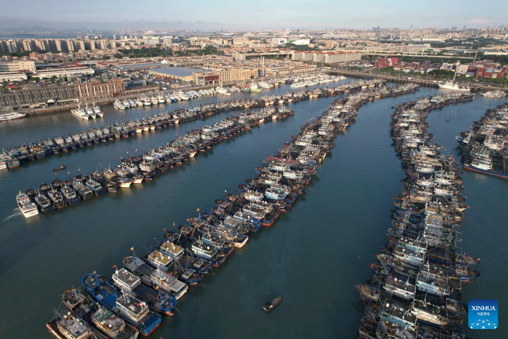
Due to the typhoon, railway services and flights were disrupted on the island, while many counties and cities suspended work and classes on Wednesday.
Guangdong, Fujian up emergency response
At 1 pm Wednesday, the flood control headquarters in South China's Guangdong province raised its emergency typhoon response from Level III to Level II in anticipation of Typhoon Podul.
READ MORE: South China braces for Typhoon Podul
Podul, the 11th typhoon of the year, made landfall on the coast of Taitung county in China's Taiwan region at around 1 pm Wednesday, with a maximum wind force of 14-grade near the center when it landed, according to the meteorological observatory of East China's Fujian province.
Typhoon Podul is expected to move rapidly northwest at about 30 kilometers per hour, gradually weakening in strength. It is forecast to make a second landfall along the coast from Xiamen in Fujian province to Shantou in Guangdong province between Wednesday night and early Thursday morning, before continuing its northwestward path.
Affected by Typhoon Podul, winds in the eastern sea area of Guangdong, as well as cities and counties in the eastern part of the province, are expected to increase to Grade 8 to 10 from Wednesday to Thursday.
Heavy rain will hit eastern and northern Guangdong, as well as the northern Pearl River Delta, from Wednesday night through Thursday night, with some areas likely to experience extreme downpours.
READ MORE: Typhoon Podul: HKO issues T1 signal, mulls T3 later
Authorities in Fujian raised the emergency typhoon response to Level II around noon Wednesday, simultaneously activating a Level IV flood control emergency response.
The flood control headquarters in Fujian and Guangdong have instructed all localities to closely monitor the typhoon situation and implement emergency measures, including evacuations, to ensure the safety of life and property.
China has a four-tier emergency response system, with Level I being the most severe.