KABUL - A 5.6-magnitude earthquake struck eastern Afghanistan on Thursday, centered 14 km east of Jalalabad, the capital of Nangarhar province, at 1656 GMT, according to the US Geological Survey.
The quake's epicenter, at a depth of 10 km, was located at 34.72 degrees north latitude and 70.79 degrees east longitude.
The GFZ German Research Centre for Geosciences measured the quake at a magnitude of 6.2.
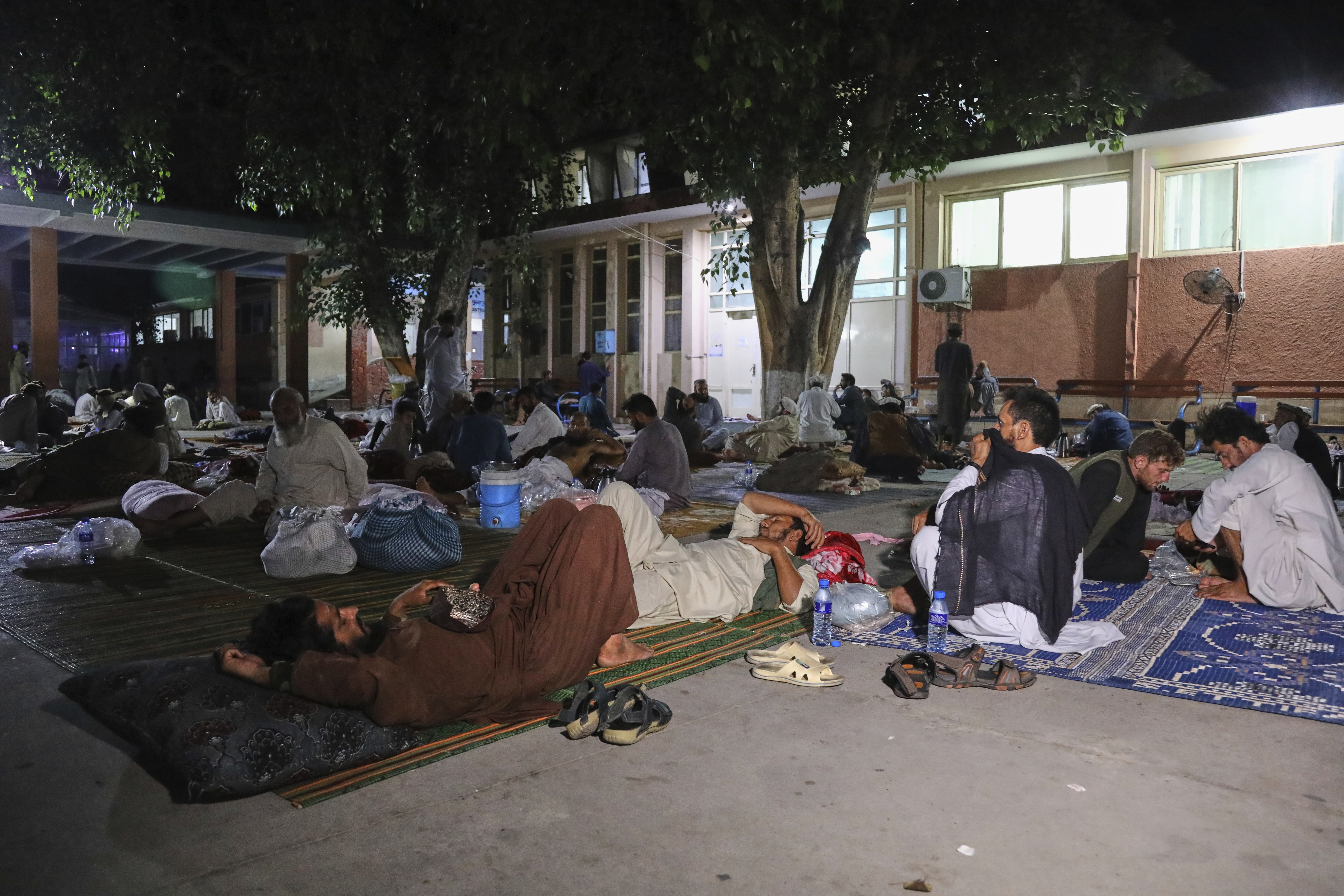
This latest temblor follows a series of earthquakes that have devastated Nangarhar and neighboring Kunar, Laghman and Nuristan provinces in recent days.
The most catastrophic, a 6.0-magnitude quake, hit late Sunday, causing extensive destruction and significant loss of life and property.
ALSO READ: China donates relief funds to Afghanistan for earthquake response
Official reports confirmed over 2,200 deaths and more than 3,600 injuries, with rescue operations ongoing to recover bodies from the rubble.
The region remains on high alert as authorities and aid organizations grapple with the escalating crisis.


