
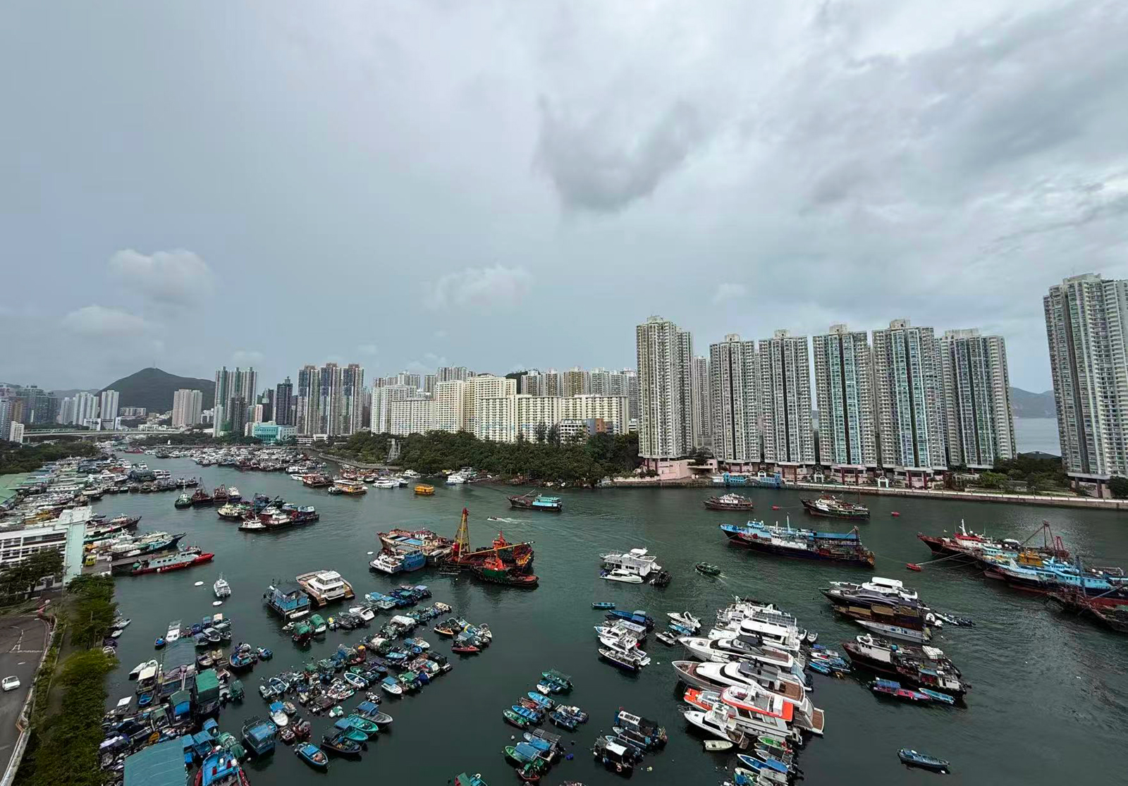
Typhoon signal No. 3 will remain in force in Hong Kong at least until Sunday noon as Tropical Cyclone Matmo continued to move steadily towards the vicinity of Leizhou Peninsula, the city’s weather forecaster announced on Saturday night.
The Strong Wind Signal, No. 3, which was issued at 12:20 pm on Saturday, means that winds with mean speeds of 41 to 62 kilometers per hour are expected.
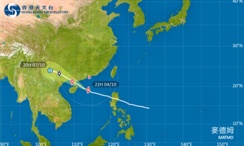
Matmo will be closest to Hong Kong in the small hours and the morning on Sunday, skirting more than 300 km to the southwest of the territory, the Hong Kong Observatory said in a 9:45 pm weather update.
Local winds are strong over many parts of the city, with occasional gales offshore and on high ground.
READ MORE: Unsettled weather forecast as Tropical Cyclone Matmo nears HK
“In the past few hours, Matmo continued to move steadily towards the vicinity of Leizhou Peninsula,” reads the bulletin.
Unless its gale force winds get closer to the Pearl River Estuary, the chance of sustained gale force winds generally over Hong Kong is relatively low, according to the observatory.
In a notification Saturday night, the Education Bureau suspended classes of kindergartens, schools for children with physical disability and schools for children with intellectual disability on Sunday.
Under the influence of the rainbands of Matmo, there will be occasional squally showers, thunderstorms, and violent gusts tonight and at first on Sunday.
ALSO READ: Observatory: HK could see up to eight typhoons this year
Cautioning that seas will be rough with swells, the HKO advised people to stay away from the shoreline and not to engage in water sports.
The tropical cyclone comes less than two weeks after storm Ragasa lashed Hong Kong with super typhoon wind force, prompting the authorities to issue the highest typhoon alert – Hurricane Signal No. 10.
READ MORE: HK in recovery mode after Ragasa onslaught
At least 101 people were hurt, many parts of the city were submerged due to flooding, schools and businesses were closed down, and flights were suspended for 36 hours during the Sept 24 typhoon.