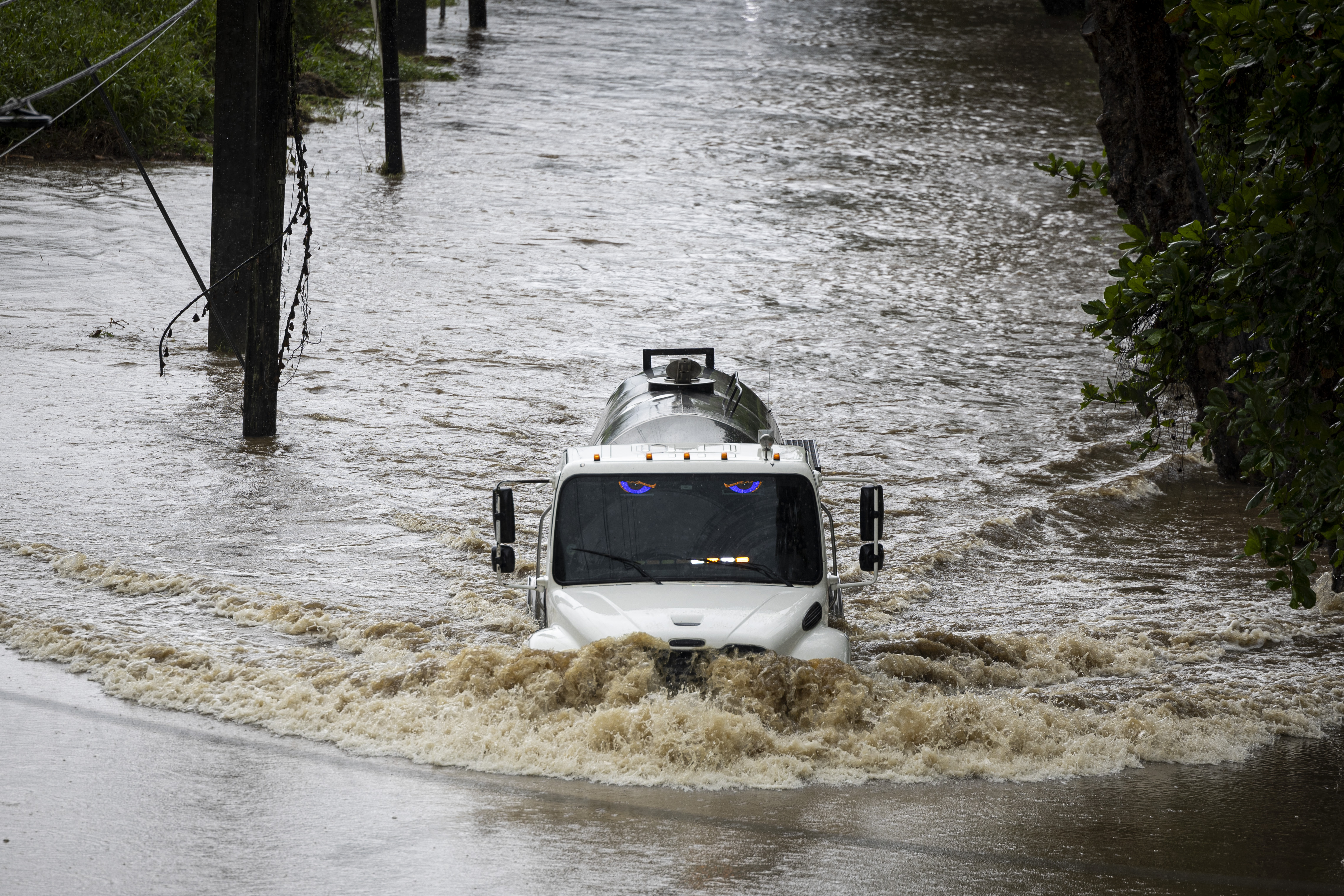
Hurricane Erin has re-intensified after moving past Puerto Rico, with the dangerous storm expected to increase in size and remain over the ocean as it churns off the US East Coast later this week.
Erin’s top winds strengthened to 130 miles (209 kilometers) per hour, bumping it back up to a Category 4 storm on the five-step, Saffir-Simpson scale, the US National Hurricane Center said in an advisory. Some additional intensification is forecast over the next 12 hours, the agency added.
The storm, the first hurricane of the six-month season, was 130 miles northeast of Grand Turk Island moving northwest at 12 mph, and heavy rain was forecast through Monday for Puerto Rico and the Bahamas. The system is expected to pass between North Carolina’s Outer Banks and Bermuda later this week.
Erin’s winds increased rapidly on Saturday to reach 160 mph, making it a scale-topping Category 5 storm and one of the earliest examples of such a powerful system to emerge in the Atlantic this year. In July 2024, Beryl became the earliest hurricane to reach top intensity during the Atlantic season.
ALSO READ: ‘Formidable’ Erin barrels through Atlantic as a cat-4 hurricane
“Erin has been growing in size, and that trend is likely to continue over the next few days,” US Senior Hurricane Specialist Richard Pasch wrote in a forecast analysis. “The expanding wind field will result in rough ocean conditions over much of the western Atlantic.”
While Erin barely grazed Puerto Rico and the Virgin Islands, it still knocked out power to many residents. About 10 percent of Puerto Rico was without electricity overnight, Luma Energy reported, and crews on the US Virgin Islands were working to restore energy on Sunday.
Tropical storm warnings have been posted for the Turks and Caicos Islands as well as the southeastern Bahamas.
If Erin holds to its forecast track, it will avoid a direct strike on any of the islands in the area or the US East Coast. It’s expected to trace a shallow, C-shaped arc through the western Atlantic, passing between North Carolina and Bermuda overnight Wednesday into Thursday.
READ MORE: Extremely dangerous hurricane Erick looms over Mexico's Pacific coast
Another tropical wave that bears watching is moving off Africa into the Atlantic, said Dan Pydynowski, a meteorologist with commercial forecaster AccuWeather Inc.
The patch of thunderstorms and showers was near Cabo Verde off the African coast and moving west across the Atlantic, with a 30 percent chance of becoming a storm in the next week.
That part of the ocean, between the Caribbean and Africa, is known as the main development region to forecasters and it’s where some of history’s most deadly and damaging storms have formed. It’s also a part of the ocean that becomes particularly active between mid-August and late September.
“It’s that time of year, the later part of August,” Pydynowski said. “We will have to watch that. We are quickly approaching the peak of hurricane season.”


