

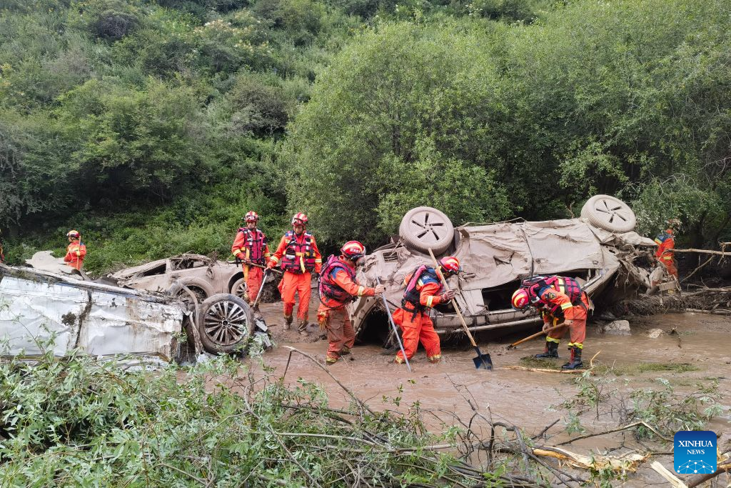
Facing severe geological disasters, China is expanding risk management from individual hazard points to entire zones and deploying advanced technologies to minimize casualties and property losses, according to a new five-year plan released by the Ministry of Natural Resources.
The Implementation Plan for National Geological Disaster Prevention and Control during the 15th Five-Year Plan period (2026-30) comes as more than 270,000 geological disaster points threatened over 11 million people nationwide by the end of 2025, with climate change triggering increasingly unpredictable hazards outside traditional high-risk areas.
During the five-year period, the plan calls for the deployment of more than 4,200 engineering solutions and elimination of over 6,100 hazard sites, while relocating approximately 50,000 households from high-risk areas.
ALSO READ: China issues alert for mountain torrents as 18 rivers exceed warning levels
It also mandates the implementation of dual control of hazard points and risk zones across 1,206 key counties, cities or districts in 17 priority provinces, establishing management lists with defined accountability systems.
The 21 key prevention zones were expanded and refined compared to the 14th Five-Year Plan period (2021-25), which had designated 16 zones. The new designations include prevention areas for regions in the lower Yarlung Tsangpo River hydropower project, high-altitude long-distance disaster chains, and the Yanshan-Taihang Mountain region, while further subdividing the southeast hills and southwest mountain zones.
READ MORE: Probe into deadly Gansu flash flood ordered
The expanded zoning also reflects the urgency of disaster prevention around major infrastructure projects, hidden chain-type hazards, and northern regions in recent years, according to the ministry.
In addition, the plan calls for strengthening research into how extreme rainfall, temperature alternation and sudden shifts between drought and flooding trigger geological disasters, while developing risk assessment models and early warning systems suited to changing climate conditions.
To support these efforts, the plan emphasizes conducting detailed geological disaster surveys at a 1:10,000 scale in key towns within extremely high- and high-risk areas and deploying technologies including artificial intelligence and digital twins to improve hazard identification and disaster early warning.
A unified digital prevention platform will also be built on the national natural resource management and spatial planning system, with dedicated applications deployed in key regions and coordinated across priority provinces.
