

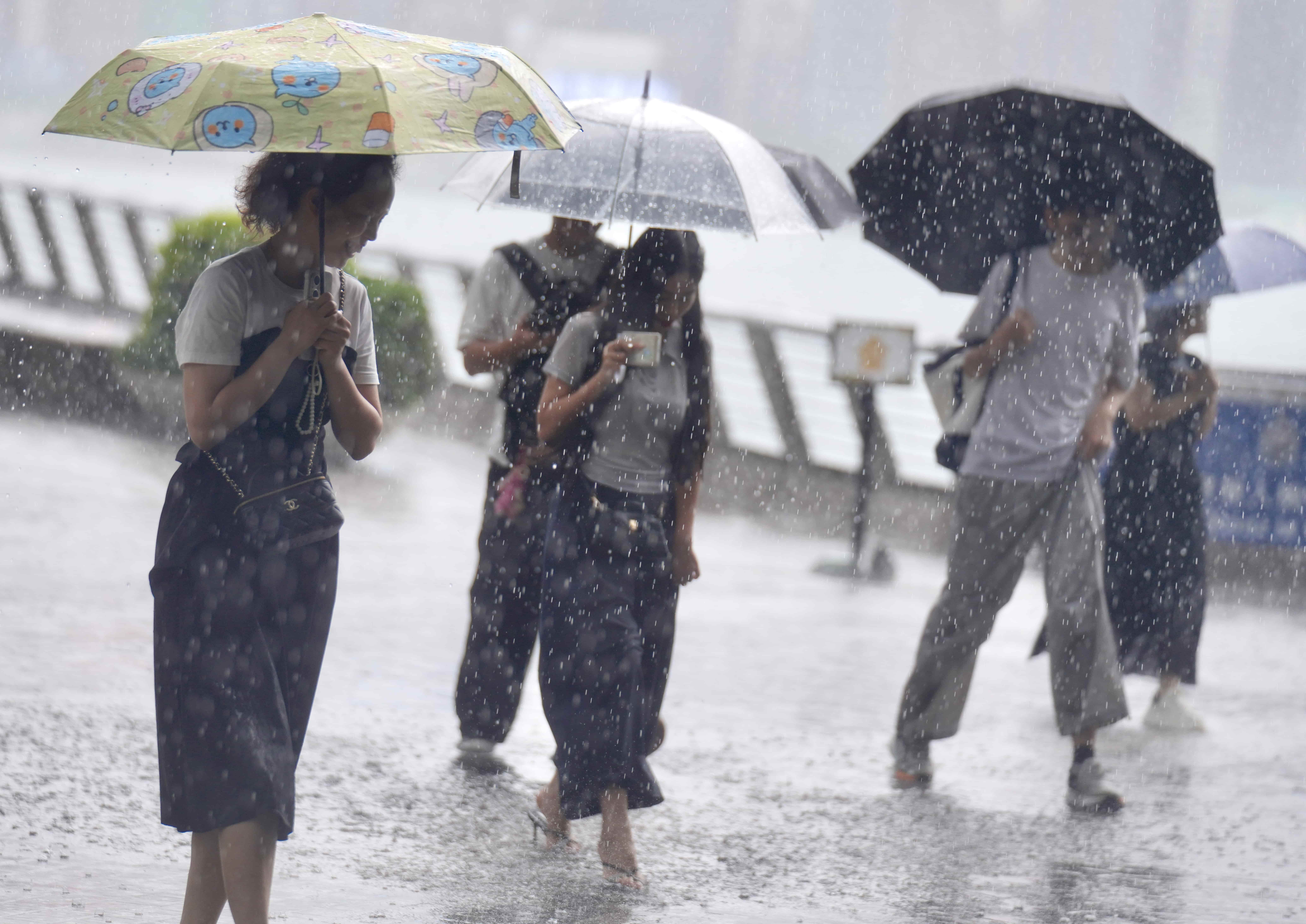
Hong Kong experienced torrential downpours again on Friday morning, prompting the city’s weather agency to issue its second-highest rain signal, the red rainstorm warning.
The Hong Kong Observatory raised the red alert at 11:05 am, less than an hour after hoisting the amber rainstorm warning at 10:20 am. The red warning indicates that heavy rain has fallen or is expected to fall generally over Hong Kong, exceeding 50 millimeters in one hour, and is likely to continue. The warning was downgraded to amber at 2:10 pm and canceled at 3:05 pm.
Hong Kong has experienced rainy weather on and off this week, with the red rainstorm warning having been issued on Monday, a day after Typhoon Noul brought downpours and gale-force winds.
ALSO READ: Morning classes suspended as torrential rains hit Hong Kong
The observatory said showers and thunderstorms associated with a broad trough of low pressure are affecting the coast of Guangdong and the northern part of the South China Sea, with heavier showers at times and squally thunderstorms over the region.
Showers brought around 10 mm of rainfall to the western New Territories and Lantau Island, with rainfall exceeding 20 mm in the southern part of Lantau Island, according to the observatory.
Heavy showers brought more than 50 mm of rainfall across Hong Kong in the past couple of hours, with the western part of Hong Kong Island, Lamma Island and Kwai Tsing districts seeing more than 100 mm of rainfall, the HKO pointed out.
The Education Bureau announced classes at afternoon schools will be suspended, and reminded schools to remain open and implement contingency measures to look after arriving students.
“With the broad trough of low pressure weakening slightly midweek next week, there will be sunny intervals with a few showers over the coast of Guangdong,” the observatory said.
