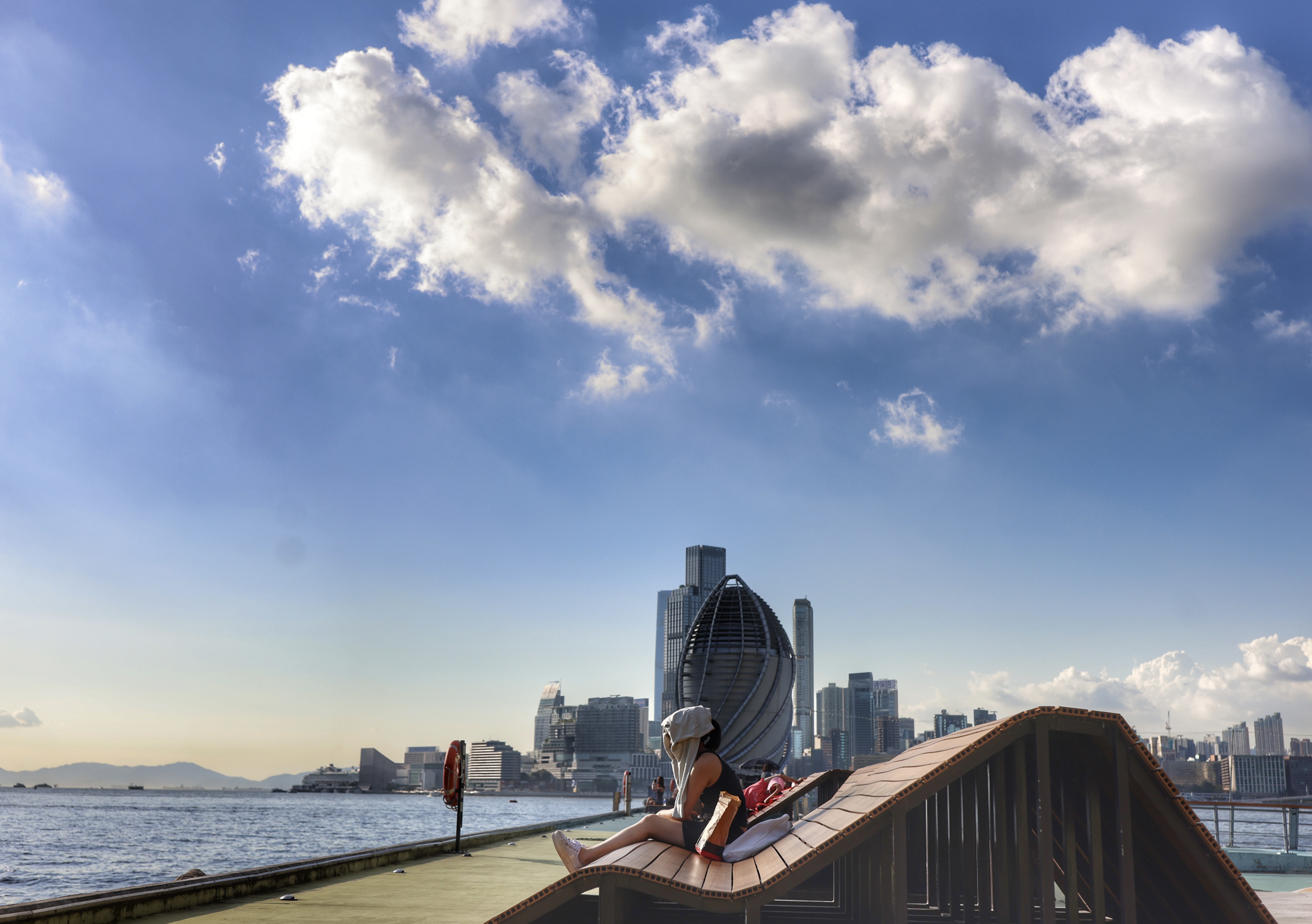
The weather in Hong Kong will become unsettled later Saturday to Sunday as Tropical Cyclone Matmo is moving across Luzon and is nearing the city, according to Hong Kong’s weather forecaster.
With Matmo centered within about 800 kilometres of Hong Kong, the Hong Kong Observatory issued the Standby Signal, No. 1 at 7:40 pm on Friday.
“According to the present forecast, Matmo will move across the central and northern parts of the South China Sea in the next couple of days, in the general direction of the vicinity of Leizhou Peninsula to the eastern part of Hainan Island, and intensify gradually,” reads an HKO bulletin issued at 5:20 pm.
ALSO READ: Observatory: HK could see up to eight typhoons this year
It will be windy and the seas will be rough with swells, the observatory said, adding that there will be occasional squally showers.
The HKO would assess the need to issue higher tropical cyclone warning signals during the day on Saturday, depending on the distance between the tropical cyclone and the Pearl River Estuary, its intensity, and the change in local wind conditions.
With a very hot weather warning in force, temperatures in parts of Hong Kong rose to about 33 degrees around noon on Friday.
The Centre for Health Protection of the Department of Health reminded people to take appropriate precautions against heat-related illnesses, such as heat cramps, heat exhaustion, and heat stroke during very hot weather.
The tropical cyclone comes less than two weeks after storm Ragasa lashed Hong Kong with super typhoon wind force, prompting the authorities to issue the highest typhoon alert – Hurricane Signal No. 10.
READ MORE: HK in recovery mode after Ragasa onslaught
At least 101 people were hurt, many parts of the city were submerged due to flooding, schools and businesses were closed down, and flights were suspended for 36 hours during the Sept 24 typhoon.


