
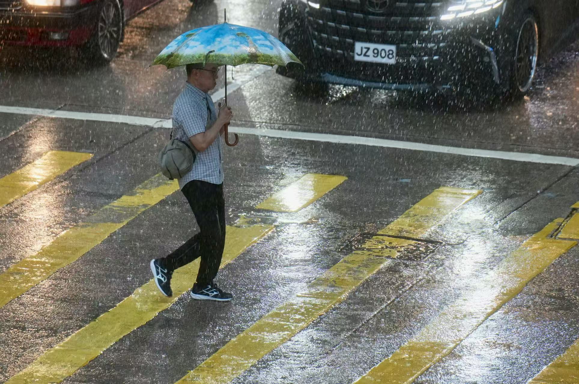
The Hong Kong Observatory raised the Standby Signal, No 1 (T1) on Thursday night after a low-pressure area in the South China Sea intensified into a tropical depression and moved closer to the city.
In a weather advisory, the HKO issued the T1 typhoon warning signal at 7:10 pm as the tropical depression came within 800 kilometers of Hong Kong while moving towards the general direction of the seas south of Hainan Island.
It added that the T1 signal will remain in force at least until 9 am Friday.
ALSO READ: HKO mulls T1 signal due to low pressure in South China Sea
“It is expected to be closest to Hong Kong around noon tomorrow, skirting around 600 kilometers or more from the territory,” the observatory said.
Local winds will be occasionally strong in some areas and there will be swells, it added.
As of 7 pm, the tropical depression was estimated to be about 770 kilometers south of Hong Kong and was forecast to move west-northwest at about 18 kilometers per hour towards the seas south of Hainan.
READ MORE: HKO cancels all typhoon signals as Kajiki moves away
Unless the tropical cyclone intensifies significantly or adopts a track closer to the coast of Guangdong, the observatory said the chance of persistent strong winds over the territory was relatively low.
It said members of the public should take note of the latest weather advisory, stay away from the shoreline, and avoid water sports.