
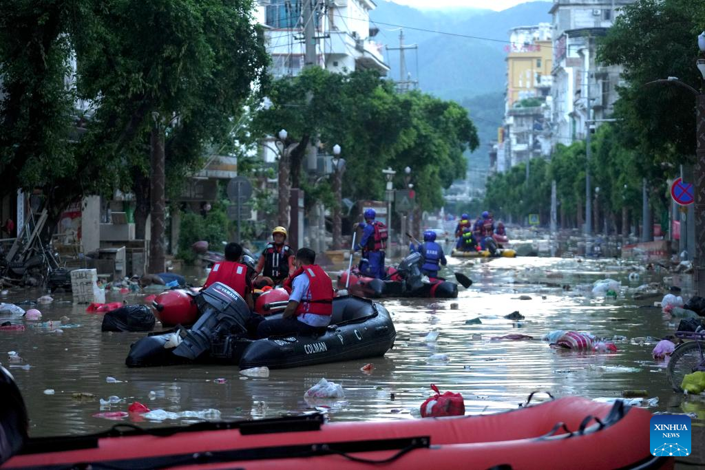
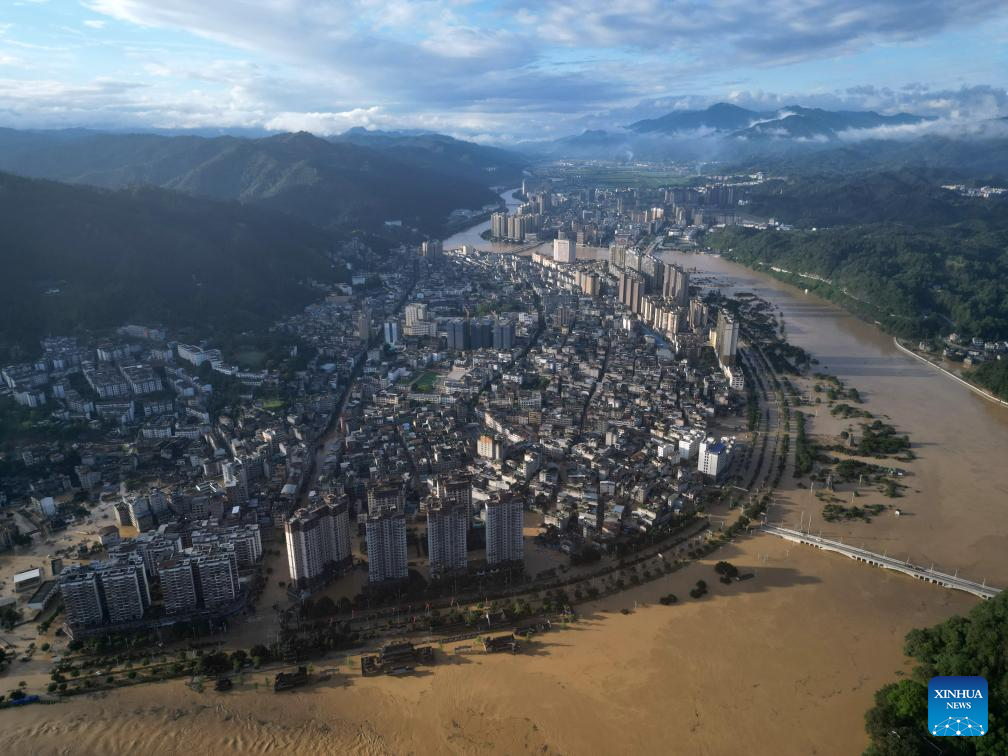
Some rivers in North China's Haihe River Basin and Northeast China's Songliao Basin may experience significant flooding in August, a spokeswoman for the top Chinese emergency response authority said on Tuesday.
Shen Zhanli, a spokeswoman for the Ministry of Emergency Management, made the remarks at a news conference in Beijing, noting that in August, all seven major river basins in China have entered the main flood season.
ALSO READ: A rainy, warmer than usual July for Hong Kong
"In recent years, due to global climate change, disastrous weather has become increasingly sudden, extreme and unpredictable," she said. "Especially during the flood season, disasters that break historical records and traditional understandings occur frequently."
"Currently, we are in the critical flood prevention period — the second half of July and the first half of August, which is the most complex and severe period for flood control throughout the year," she emphasized.
At the same time, the peak season for summer holiday travel and outdoor construction poses significant safety risks, Shen added.
The spokeswoman also released the ministry's nationwide risk assessment for other disasters in August.
In August, the risk of flooding and hail is high in parts of North China, Northeast China, East China, South China and Southwest China, she said.
Additionally, it is expected that two to three typhoons will land or affect China, with one typhoon impacting areas to the north of the Yangtze River, said Shen.
READ MORE: Record deluge swamps HK: Rainstorm alert downgraded to amber
There is a high risk of forest fires in the Greater Hinggan Mountains area, and multiple parts of the Xinjiang Uygur autonomous region.
The risk of geological disasters is also high in parts of western Yunnan province, the official said, adding that there is a risk of high-temperature drought in parts of the middle and lower reaches of the Yangtze River, Jianghuai area that covers parts of Jiangsu, Anhui and Henan provinces, and central and northern Xinjiang.