
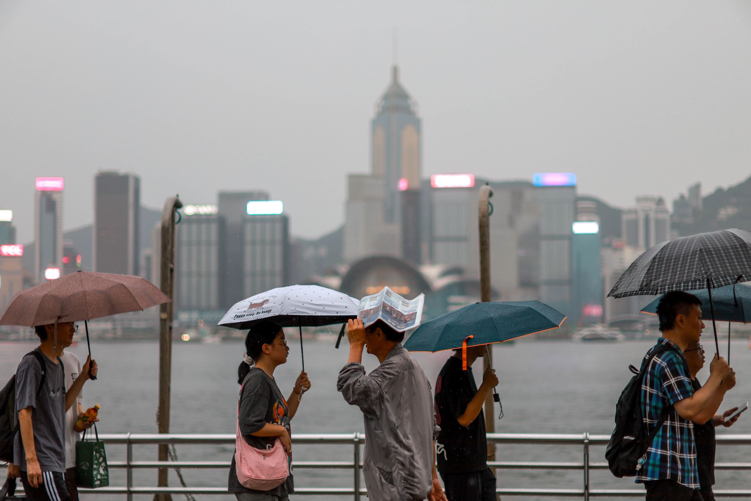
HONG KONG – The Hong Kong Observatory has cautioned residents of the city that storm surge brought by tropical storm Wipha may cause flooding in low-lying coastal areas on Sunday morning.
“Adverse weather will persist during the day tomorrow (Sunday)”, the forecaster said in a 4:45 pm weather bulletin as it confirmed that the gale or storm signal No. 8 will be issued between midnight and 2 am on Sunday.
The HKO raised signal No. 3, which means that winds with mean speeds of 41 to 62 kilometers per hour are expected, at 2:20 pm on Saturday, 12 hours after issuing the standby signal No. 1.
READ MORE: Severe tropical storm Wipha blows away from Philippines
“As Wipha edges closer to the coast of Guangdong, local winds will strengthen and there will be frequent heavy squally showers and thunderstorms,” reads the bulletin.
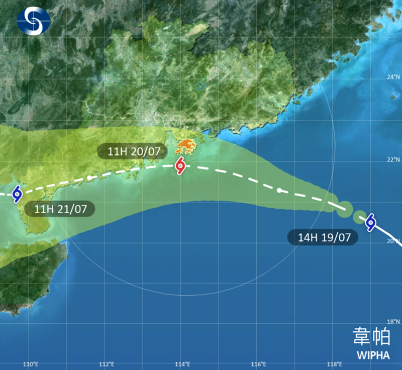
Wipha will edge rather close to the vicinity of the Pearl River Estuary Sunday, the observatory said, adding that local winds are expected to reach gale to storm force.
Seas will be high with swells, it cautioned, advising people to stay away from the shoreline and not to engage in water sports.
“Depending on the distance between Wipha and Hong Kong, whether Wipha will further intensify into a typhoon and the change in local wind conditions, the observatory will assess the need of issuing higher tropical cyclone warning signals Sunday morning.”
ALSO READ: Guangdong, Hainan brace for severe Typhoon Wipha tonight
The Education Bureau announced that classes of all day schools, including secondary schools, primary schools, special schools, kindergartens, and kindergartens-cum-child care centers, will be suspended on Sunday to ensure students' safety.
The HKO also issued a very hot weather warning at 7:30 am and asked the public to be aware of heat stroke.
ALSO READ: HK could see up to eight typhoons this year, says HKO
Wipha intensified into a severe tropical storm as it blew away from the Philippines on Saturday, bringing strong winds and heavy rains to many areas, including Metro Manila.
PAGASA, the Philippine state weather bureau, said in its weather bulletin that Wipha exited the Philippine Area of Responsibility at 10 am local time.